
Map skills
Choosing a location forces students to actually read the map, not just look at it.
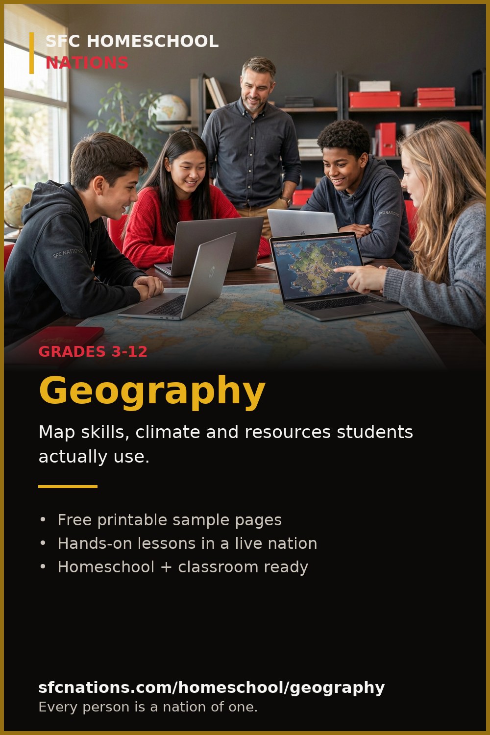

Grades 3-12
Real coordinates, real neighbors, real consequences.
Students place their nation on a real world map, which means real neighbors, real time zones, and real terrain. Geography stops being a list of capitals and becomes the board the whole game is played on.
Download the sample PDF (free)3 printable pages · no account needed · see the sample pages first
Share Geography
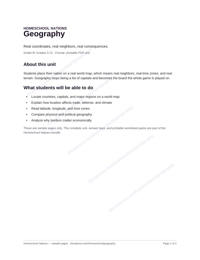
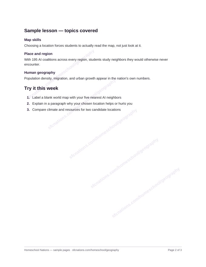
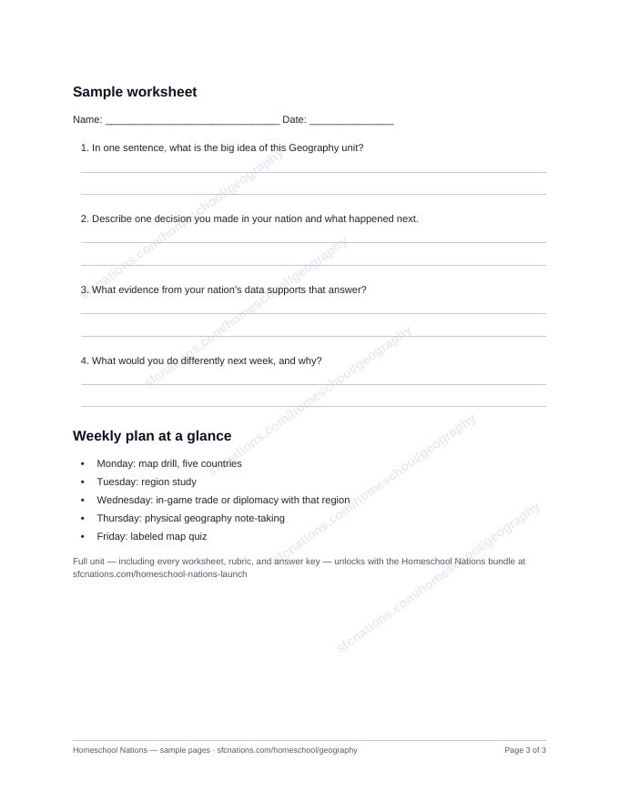
Three printable sample pages from the Geography unit: the unit overview and learning goals, a sample lesson, and a student worksheet with the weekly plan. Free to preview, print, and use with your students right now.
The complete unit, every worksheet, rubrics, and answer keys are available now in the Homeschool Nations curriculum packages.
Choosing a location forces students to actually read the map, not just look at it.
With 195 AI coalitions across every region, students study neighbors they would otherwise never encounter.
Population density, migration, and urban growth appear in the nation's own numbers.
Real time zones and trade distances make the globe feel physical.
Yes, location selection uses a real-world map with real coordinates.
Yes, all 195 nations are represented as AI coalitions.
Grades 3-5 do well with a parent guiding map work.
The complete Homeschool Nations curriculum bundle and standalone digital book are available to purchase and download now.